Aerial view of Nouméa, New Caledonia
Kiki Beach, Lifou
Cattle return to the Néméara farm, Bourail
In Hienghène, the Lindéralique Rocks create a striking coastal scene where dramatic dark rock formations rise above the lagoon. Seen from above, the contrast between the rugged mineral cliffs, the deep blue water, and the lush green hills makes for a powerful and unforgettable view. This iconic northern New Caledonian site captures the raw beauty, geological character, and scenic grandeur of the region.
Towering dark cliffs, turquoise water, and wild coastal scenery: the Lindéralique Rocks showcase one of Hienghène’s most breathtaking landscapes.
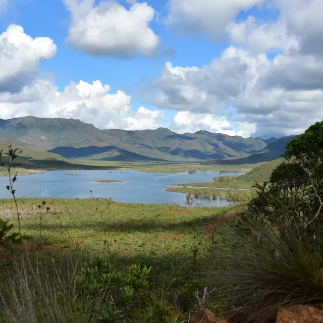
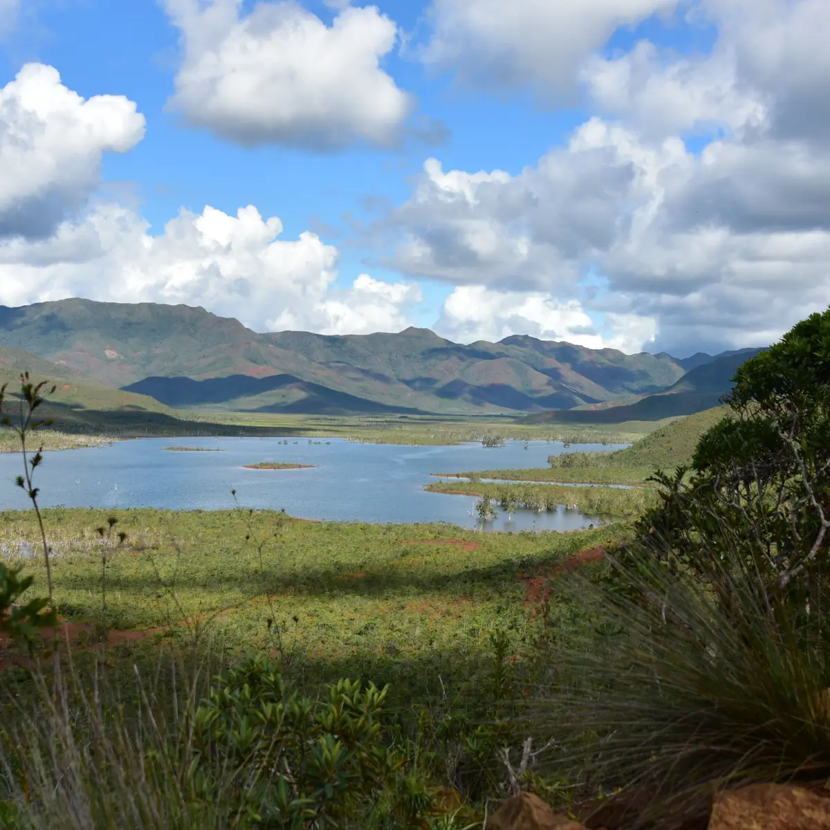
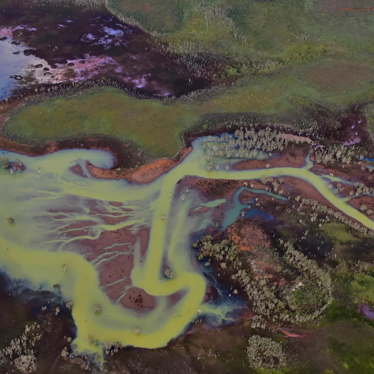
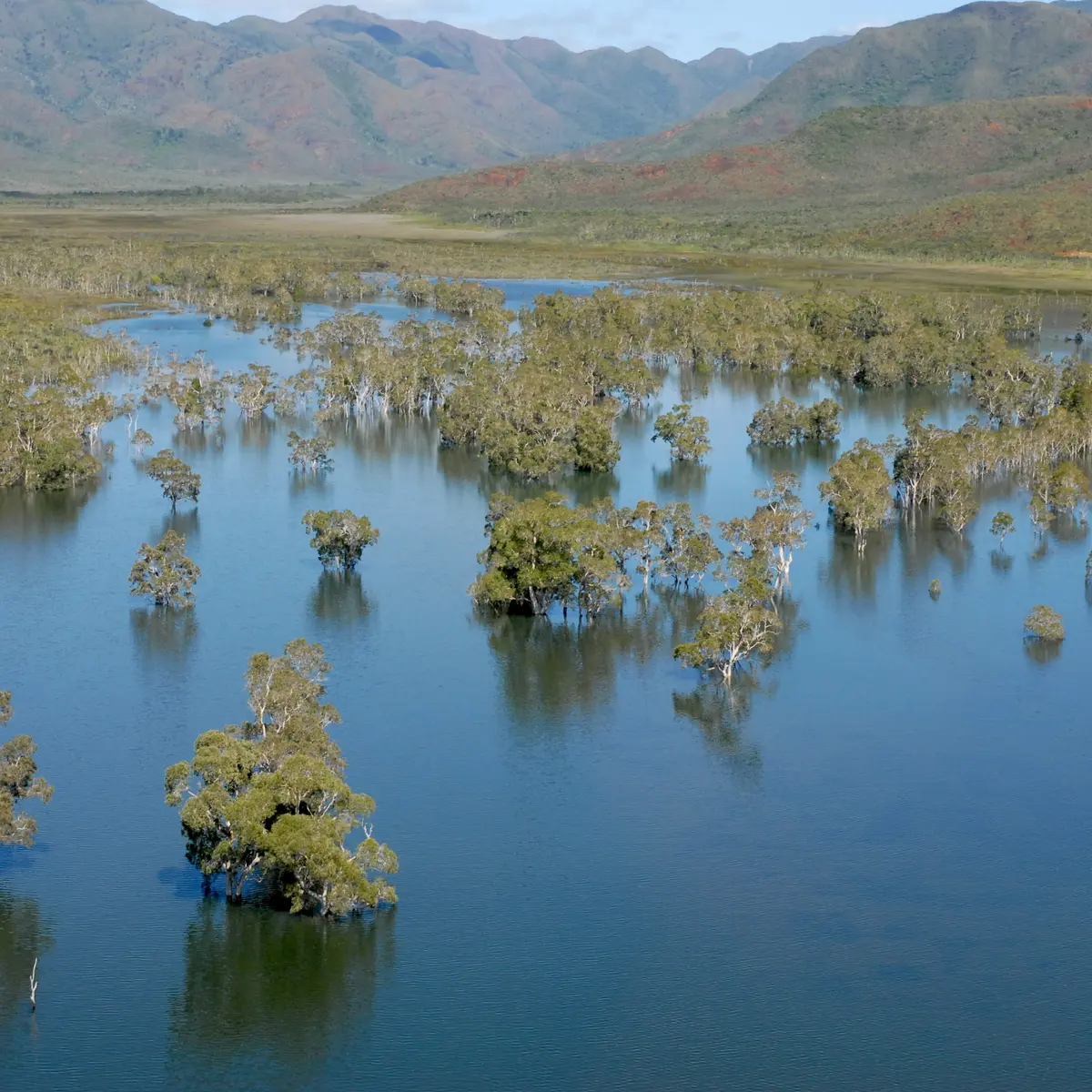
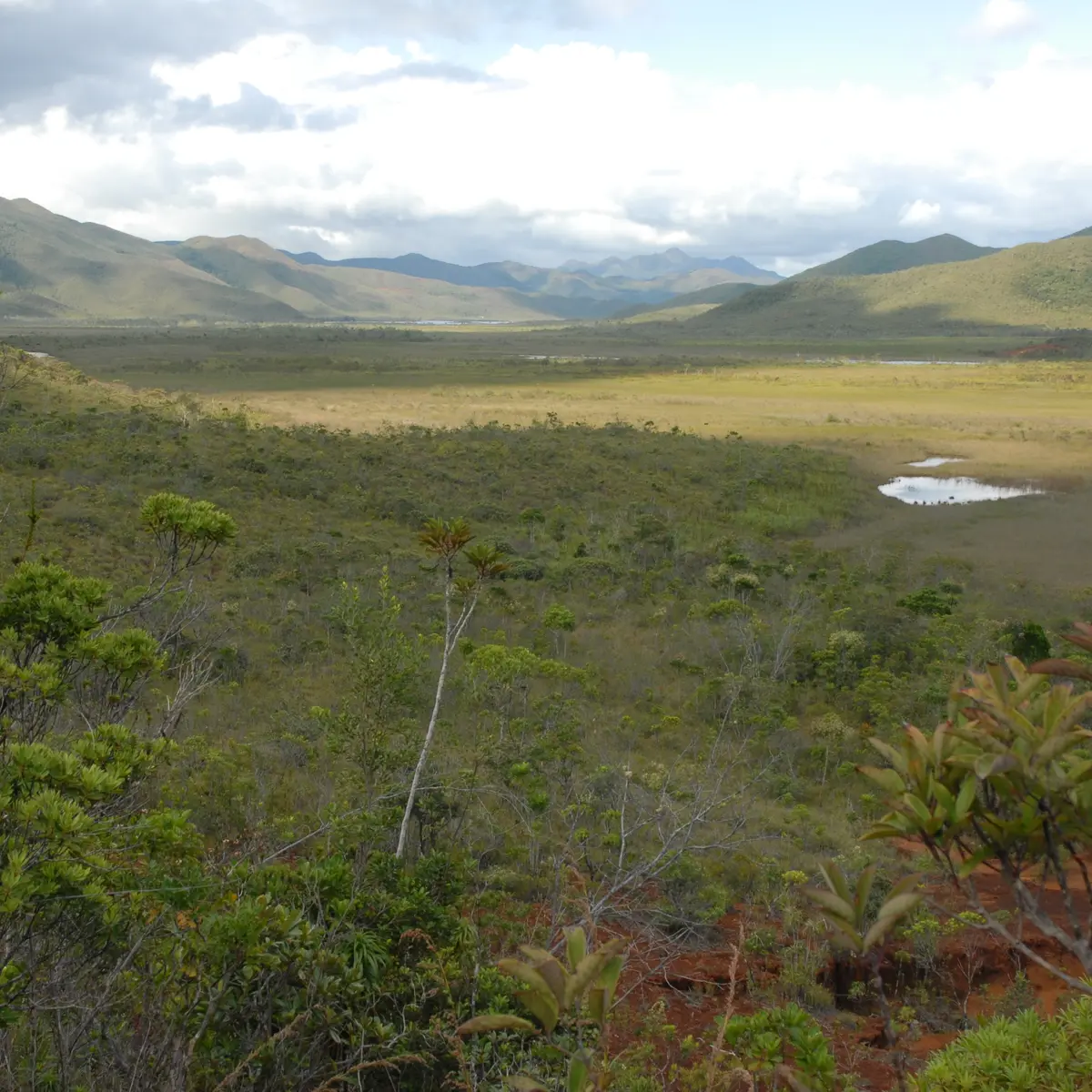
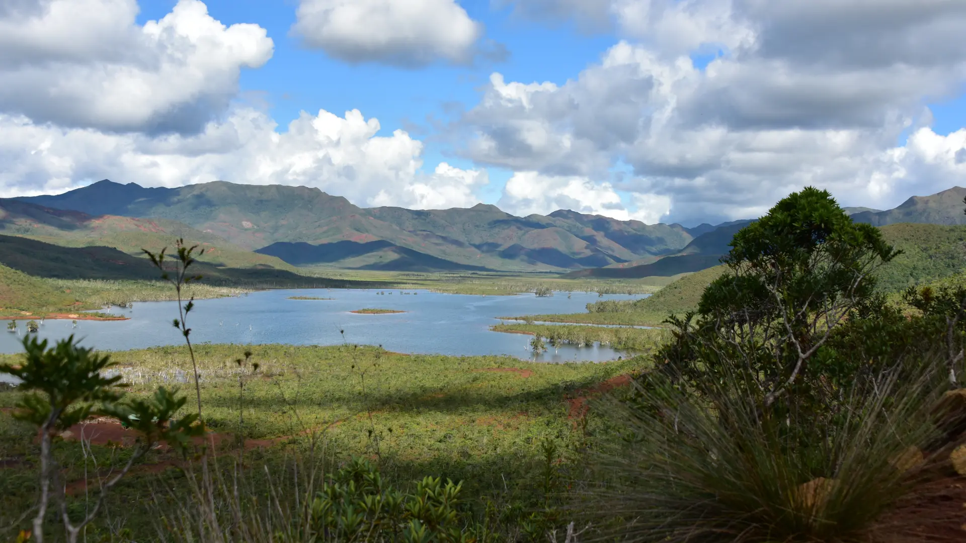
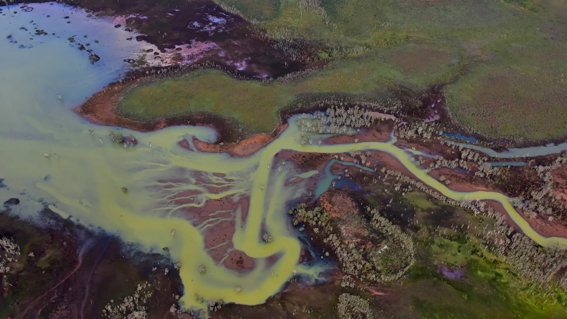
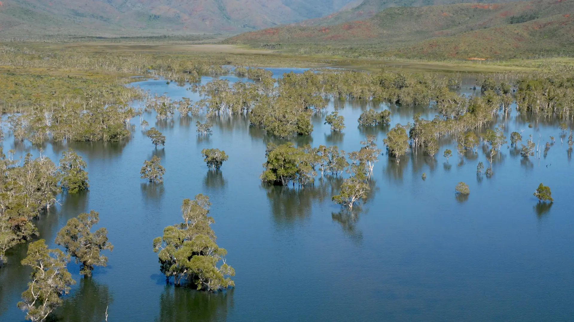
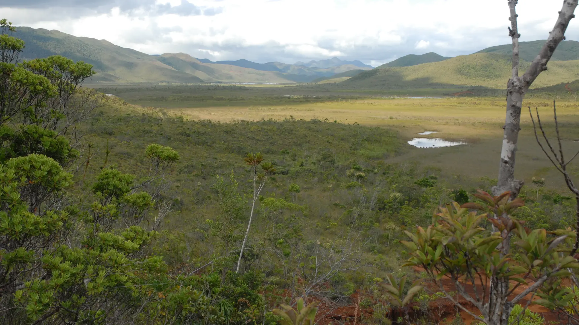
Bivouac at the Blue River Park, Yaté
Snorkeling with a lagoon turtle
Birdwatching at the Parc des Grandes Fougères
Traditional Kanak dancers
Lobster on the beach facing the lagoon, New Caledonia
Relaxing in front of the lagoon on the Isle of Pines
Bar of the Sheraton Deva hotel in Bourail
Wide coastal road-trip scene on the Corniche Road: a winding shoreline route hugging rocky cliffs and the sea, backed by dramatic green mountains—perfect inspiration for a self-drive itinerary.
New Caledonia’s most scenic drive: cliffs, curves and ocean views all the way
Fête Nationale in Nouméa
Beach of the hotel Paradis d'Ouvéa
Ajouter aux favoris
@J.F. Clair