Aller au contenu principal
Weather
Map
GB
Voir les favoris
en
New Caledonia Tourism: The official website for tourism in New Caledonia
Discover the archipelago
Aerial view of Nouméa, New Caledonia
©
Aerial view of Nouméa, New Caledonia
Nouméa
Top experiences in Nouméa
Amédée Lighthouse
Tjibaou Cultural Centre
Nouméa's bays
Aquarium des Lagons
All things to do and see in Nouméa
Kiki Beach, Lifou
©
Kiki Beach, Lifou
The Islands
Top island experiences
Isle of Pines
Ouvéa
Lifou
Maré
All things to do and see in The Islands
Cattle return to the Néméara farm, Bourail
©
Cattle return to the Néméara farm, Bourail
West coast
Top West Coast experiences
Bourail
La Foa - Farino
Koné - Voh - Pouembout
Poum - Koumac
All things to do and see on the West Coast
Linderalic rocks, Hienghène
©
Linderalic rocks, Hienghène
East Coast
Top East Coast experiences
Hienghène
Poindimié
Thio
Hienghene’s hen and rock formations
All things to do and see on the East Coast
Bivouac at the Blue River Park, Yaté
©
Bivouac at the Blue River Park, Yaté
Great South
Top Great South Experiences
Yaté
Mont-Dore
Blue River Provincial Park
Casy islet
All things to do and see in the Great South
Must-see places
Geography & biodiversity
History of the archipelago
11 reasons to come
Activities
Snorkeling with a lagoon turtle
©
Snorkeling with a lagoon turtle
Heavenly lagoon
Beaches and islets
Diving
Snorkelling
Whale watching
Sailing and navigation
Preserved natural spaces
Birdwatching at the Parc des Grandes Fougères
©
Birdwatching at the Parc des Grandes Fougères
Preserved nature
Hiking, walking, trail running
Boardsports
Horse Riding
Mountain biking and cycling
Scenic flights
Kayaking
Traditional Kanak dancers
©
Traditional Kanak dancers
Authentic cultures
Kanak culture
Bush culture
Local Art
Museums
Heritage
Not-to-be-missed events
Lobster on the beach facing the lagoon, New Caledonia
©
Lobster on the beach facing the lagoon, New Caledonia
Local gastronomy
Local produce
Local cuisine
6 dishes to try in New Caledonia
Where to eat Bougna?
Relaxing in front of the lagoon on the Isle of Pines
©
Relaxing in front of the lagoon on the Isle of Pines
Leisure and relaxation
Nightlife
Spa and wellness
Golf
Romance
Top relaxing experiences
Cruise
Family
Inspiration
Top 50 experiences
Plan your trip
Accommodation
Hotels
Gîtes
Tribal Stays
Youth hostels
Campsites
Eco-responsible
Serviced apartments
All accommodations
Bar of the Sheraton Deva hotel in Bourail
©
Bar of the Sheraton Deva hotel in Bourail
Bars and restaurants
Road trip to Hienghène, seaside road
©
Road trip to Hienghène, seaside road
Transport
Fête Nationale in Nouméa
©
Fête Nationale in Nouméa
Calendar of Events
Beach of the hotel Paradis d'Ouvéa
©
Beach of the hotel Paradis d'Ouvéa
Special offers
Travel guide
Plan your trip from A to Z
Travel specialist
Passport, visa and customs
Flights to New Caledonia
Airport information
Mobile Internet
Arriving by boat
Money and currency
Health & Safety
Weather and seasons
Traditions
Brochures
F.A.Q
Getting around
Itineraries / Road trip
Homepage
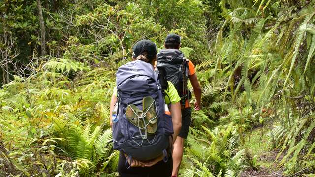
GR® NORD Stage 1: From the Napoepa tribe to the Câba tribe (Tchamba)
GR® NORD Stage 1: From the Napoepa tribe to the Câba tribe (Tchamba)
Sport
Pedestrian sports
Hiking itinerary
Elevation : 63m
98823 Ponérihouen
Getting there
×
Open the itinerary in
Google Maps
Apple Plans
Waze
Mappy
Share
Ajouter aux favoris
Add to my favorites
×
Share this sheet
GR® NORD Stage 1: From the Napoepa tribe to the Câba tribe (Tchamba)
E-mail
WhatsApp
Facebook
X
LinkedIn
Pinterest
©
© J.F Clair
©
© J.F. Clair
©
© J.F. Clair
©
© J.F. Clair
×
©
© J.F Clair
©
© J.F. Clair
©
© J.F. Clair
©
© J.F. Clair
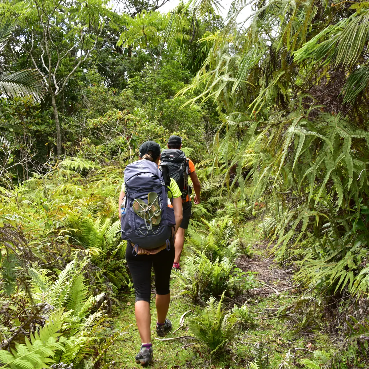
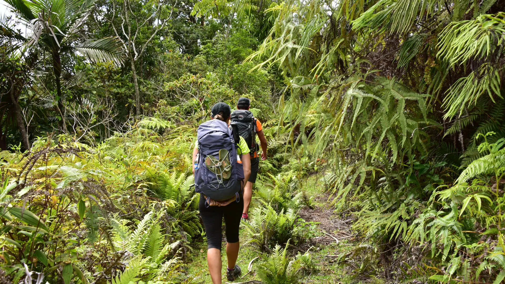
This first stage allows you to reach the great valley of Câba (Tchamba) by crossing the long ridge that stretches between the peaks of Pwè Tuyè, Görö Ö and Görö Arètua. Beautiful views as you progress along the ridge dotted with mounds.
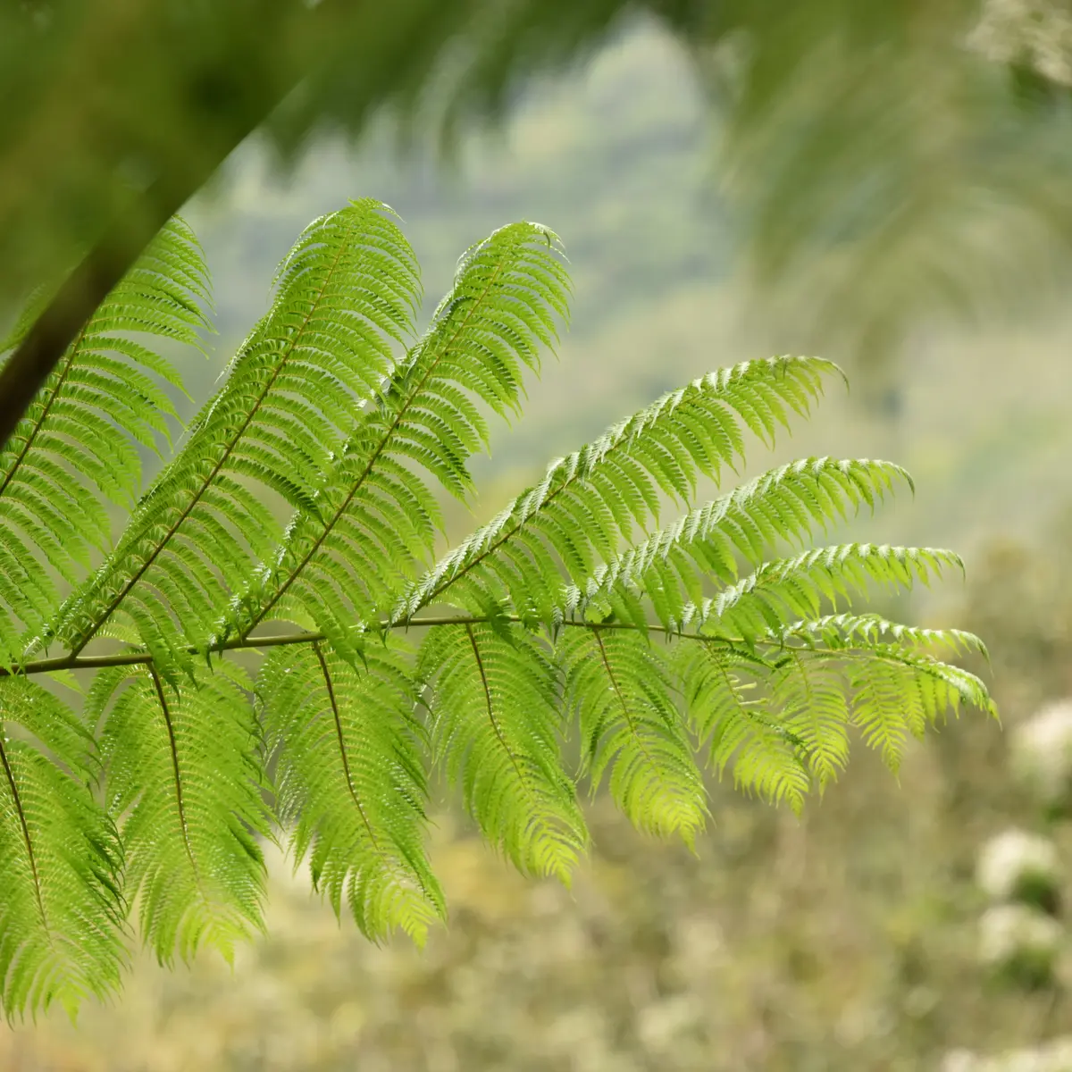
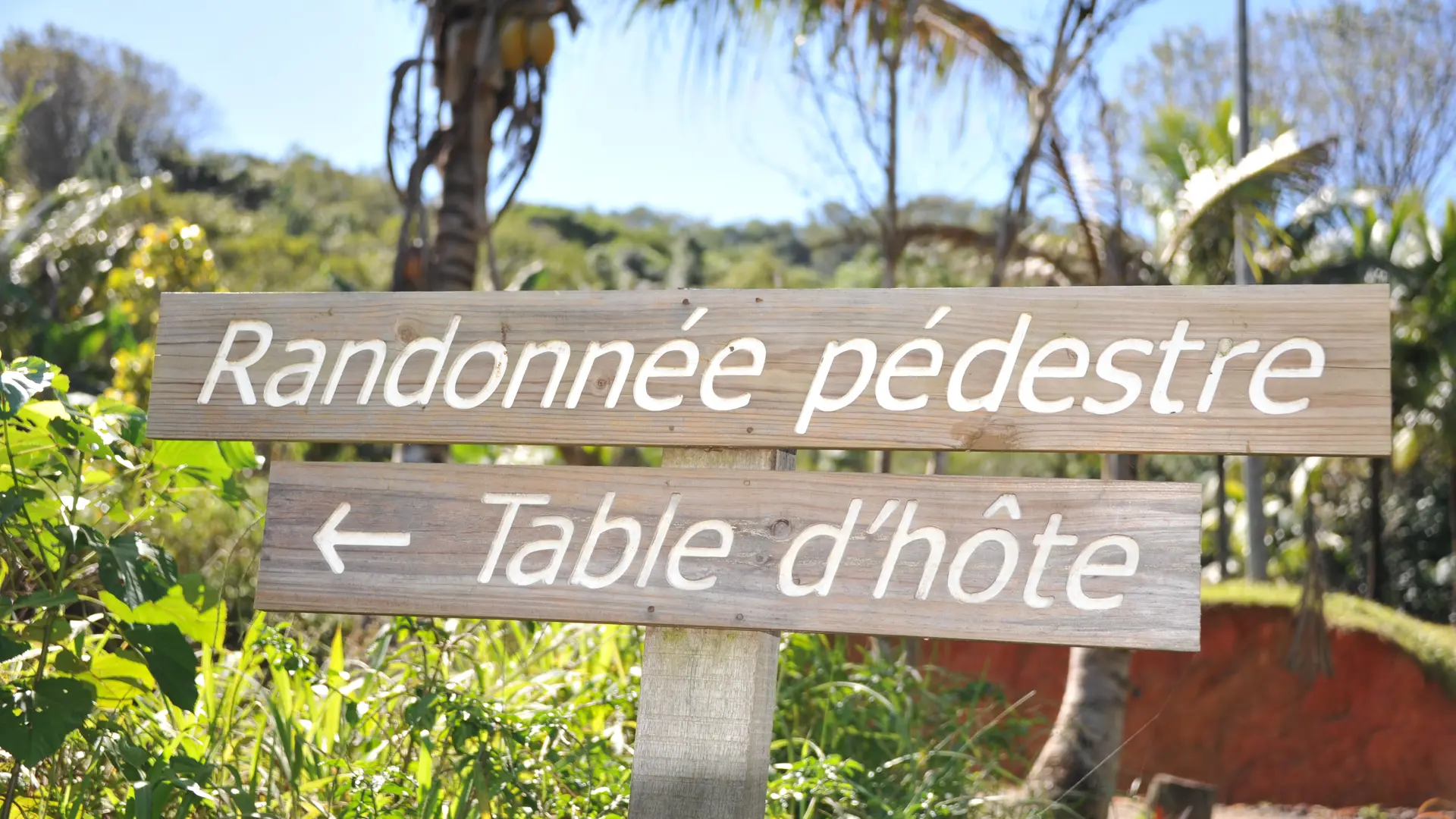
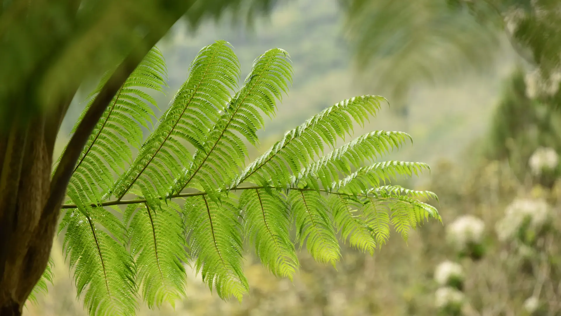
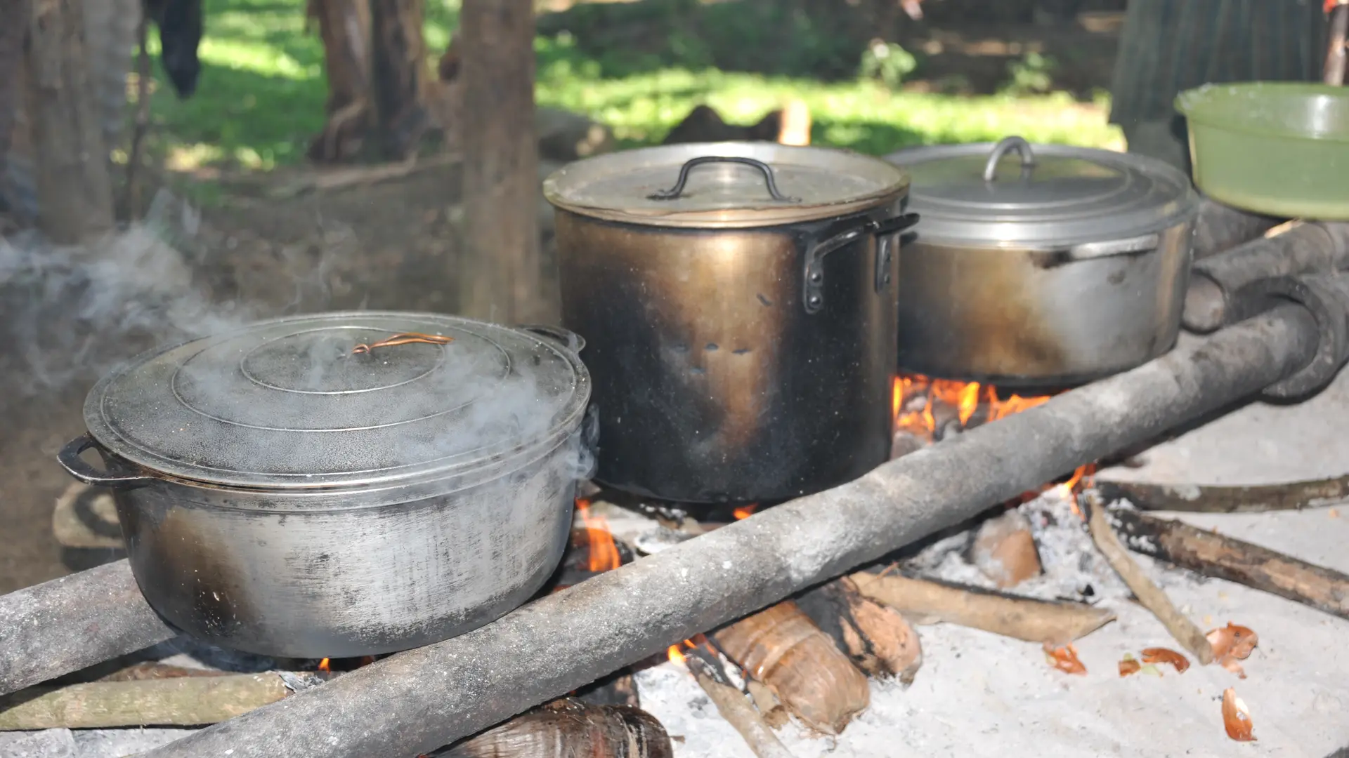
D Departure (GPS: 529 925 – 7 673 598; alt. 63 m): start on the grassy track, towards the N in the direction of the power pole. After the last two dwellings, the valley then curves towards the west along the RD of Nènari Wepa [the route follows the water catchment maintenance track]. The route reaches the first ford, which allows you to cross the river. 1 Creek (GPS: 530 576 – 7 668 928; alt. 66 m): it then turns towards the E, and leaves the humid forest quite quickly to emerge in the niaouli savannah by moving towards the N before plunging towards a second ford. Then a third, at a place called “Wêêdé”. 2 Creek (GPS: 530 870 – 7 669 410; alt. 74 m): cross the river and resume the climb [some beautiful views of stands of tree ferns] to reach a grassy platform. 3 Cistern (GPS: 531 118 – 7 669 877; alt. 159 m): continue towards the NE and reach the last ford before attacking the climb towards the ridge. 4 Creek (GPS: 531 590 – 7 669 994; alt. 139 m): cross and climb up to a hairpin bend. 5 Fork (GPS: 531 551 – 7 670 017; alt. 145 m): leave the track and take the path that enters the forest straight ahead. It climbs slowly in the undergrowth via loose switchbacks which allow a comfortable ascent. It leads to the top of the open ridge [beautiful view of the Câba (Tchamba) valley] where a large dead pinus sits enthroned. 6 Crest (GPS: 531 015 – 7 670 943; alt. 414 m; 2 h): follow the edge of the ridge to the west, between forest and savannah, up to a wooded summit [numerous mounds, vestiges of an ancient occupation]. 7 Summit of Görö Ö (GPS: 529 519 – 7 671 085; alt. 525 m): the oblique path towards the NNE, crosses a small pass (alt. 483 m) and climbs on the next hill. 8 Summit of Mont-Dore (GPS: 529 390 – 7 671 606 ; alt. 529m; 3 h 15): the route leaves the forest [mound; beautiful view of the Câba valley (Tchamba)] and descends slowly down a ridge covered with small niaoulis. Then, after a shoulder (alt. 484 m), it plunges towards a small pass visible below. 9 Pass (GPS: 529 581 – 7 672 353 ; alt. 323 m): the path slants towards the west and continues its descent to a small trickle of water enclosed in a shred of humid forest. 10 Creek (GPS: 529 166 – 7 672267; alt. 222 m) [a camp has been set up there]: cross the creek and resume the descent towards the valley. The path leads to an old grassy track. 11 Track (GPS: 528 750 – 7 672 517; alt. 111 m): head NNE along the course of the Câba (Tchamba) downstream. 12 Gate (GPS: 528 972 – 7 672 749; alt. 64 m): [keep it closed] continue in the same direction. 13 “Chez Mika” (GPS: 529 245 – 7 673 093; alt. 54 m; 4 h 20 m): [housing structure project]. Join RM 11. 14 Road (GPS: 529 671 – 7 673 119; alt. 47 m): turn left to the north, cross the bridge and follow the main road to cross the tribe. 15 “Chez Helène” (GPS: 529 925 – 7 673 598; alt. 47 m): [accommodation] continue on the main road towards the NE. Ignore the secondary roads (SE) which lead towards the common house, the hearth and the chapel. © Textes J.F. Clair FFRandonnée quotation * Effort IBP 69 3 Not very difficult * Technicality 3 Slightly difficult * Risk 2 Quite low * Overall rating 3 Slightly difficult (orange)
Read more
Plain text period
From 01/01 to 31/12.
Services
Picnic area
Covered picnic area
Public WC
Car park
Accommodation
Restaurant
Documentation
WPT GR NORD Etape n°1
Environment
Forest location
Mountain view
Mountain location
Panoramic view
Follows a section of...
GR® NORD
The route of the GR® Nord stretches from the Ponérihouen valley to the narrow plain of the Tewadé (Tiouandé), on Hienghène, passing through the valleys of the Câba (Tchamba),...
Koné
Close
Popular searches
{% label %}
Filter search
Filter search
Tourist Offers
Business Offers
Page types
All
Articles
Agenda
Lists
Aucun résultat
/
Anglais
Français
日本語
Trade & Médias
Close
×