New Caledonia Tourism B2B Website

Upper Pourina Trail

  • Sport
  • Pedestrian sports
  • Hiking itinerary
Elevation : 554m
1 route du Pont Pérignon, 98834 Yaté

Description

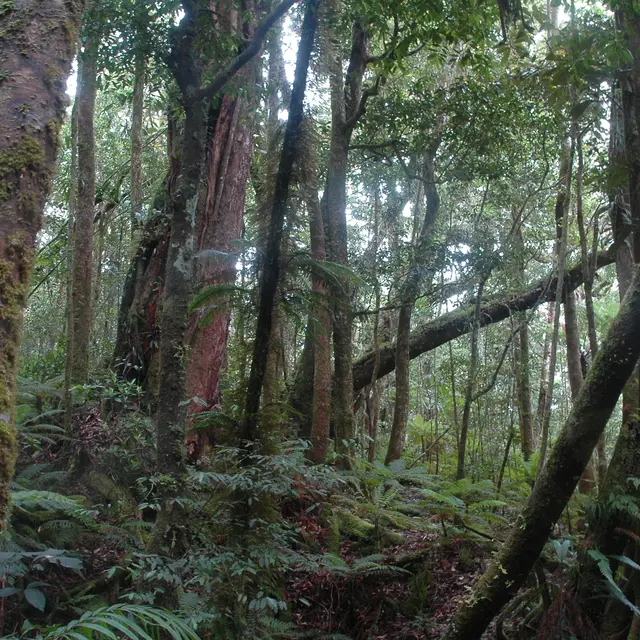
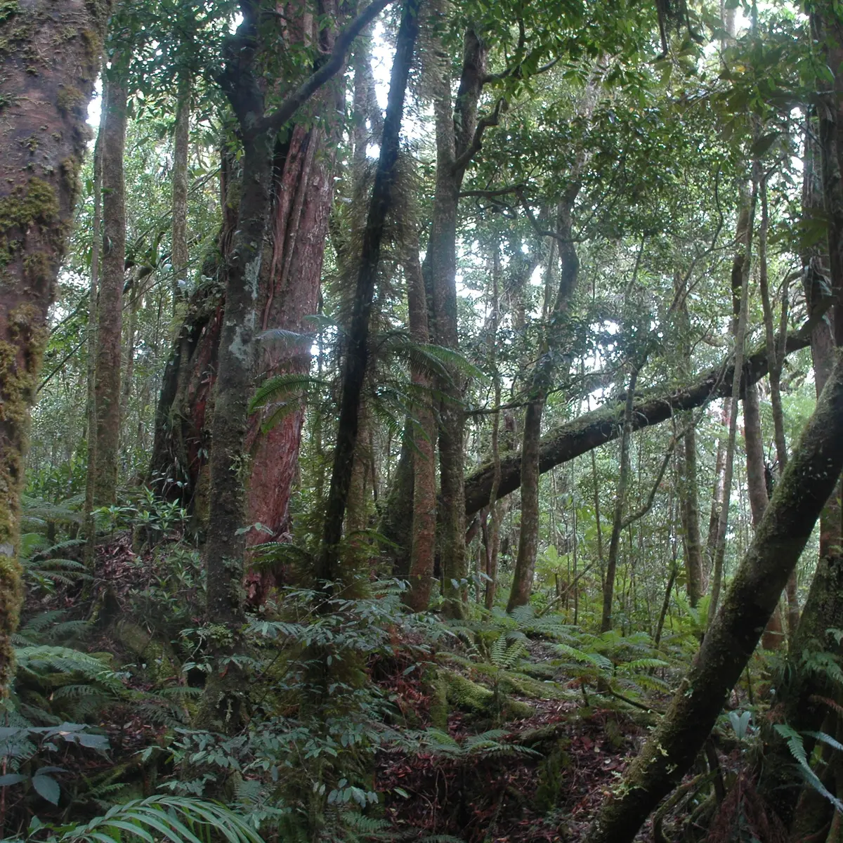
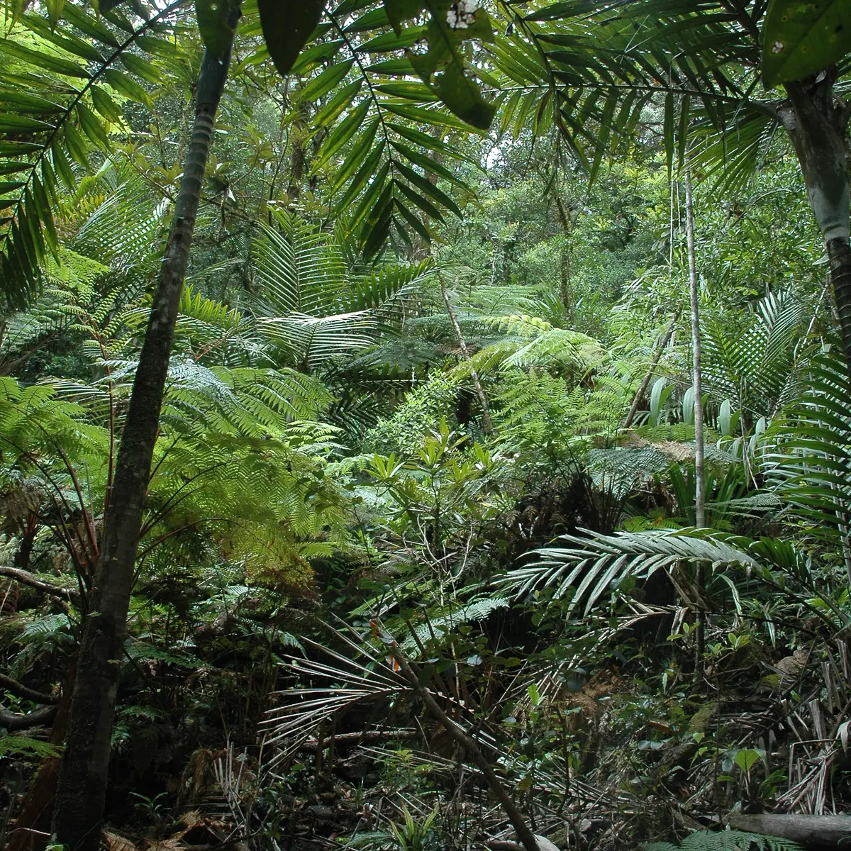
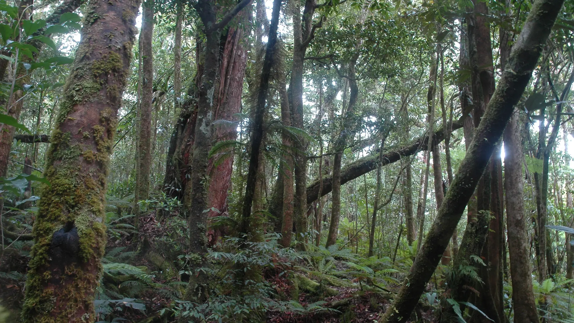
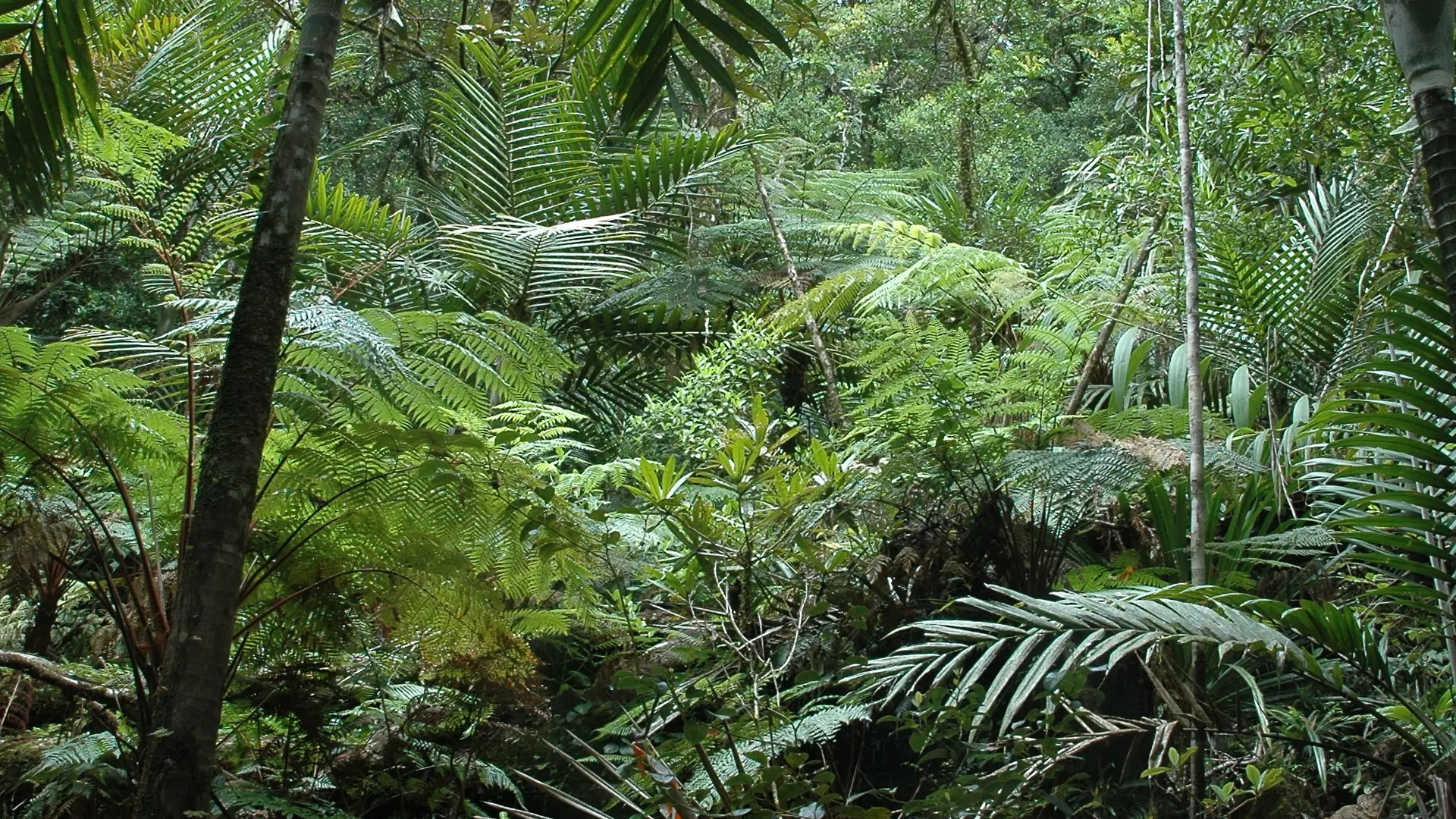
The Upper Pourina trail winds its way up the southwestern flanks of the Montagne Bleue (Gwé Buru, alt. 940 m). A regular ascent on an old logging track that offers a pleasant experience in the heart of the Grand Sud forest.
FFrandonnée® grading * Effort: IBP 51 Not very difficult (orange) * Technical difficulty: Not very difficult (orange) * Risk: Not very high (orange) * Overall grading: Not very difficult (orange)

Further information on localisation

Further information on localisation
Location: Parc Provincial de la Rivière Bleue [Blue River Provincial Park], to the north-east of Nouméa by the RP 1, RP 3, in the direction of Pont Pérignon (car park), then shuttle (paying service) or personal mountain bike (26 km A.R.) Car park: Pérignon Bridge (GPS: 675 578 – 7 551 735; alt. 173m)

Services

Car park
Public WC
Sustainable development
Outhouse
Picnic area

Environment

  • Overview on river
  • Forest location
  • Mountain location
Updated on 10 July 2026 at 10:12
by Sud Tourisme Nouvelle-Calédonie
(Offer identifier : 5532016)
Report mistake
Filter search
Filter search
  • Tourist Offers
  • Business Offers
Page types
  • All
  • Articles
  • Agenda
  • Lists