New Caledonia Tourism B2B Website

Mont-Dore Trails (by Plum)

  • Sport
  • Pedestrian sports
  • Hiking itinerary
Elevation : 772m
98809 Mont-Dore

Description

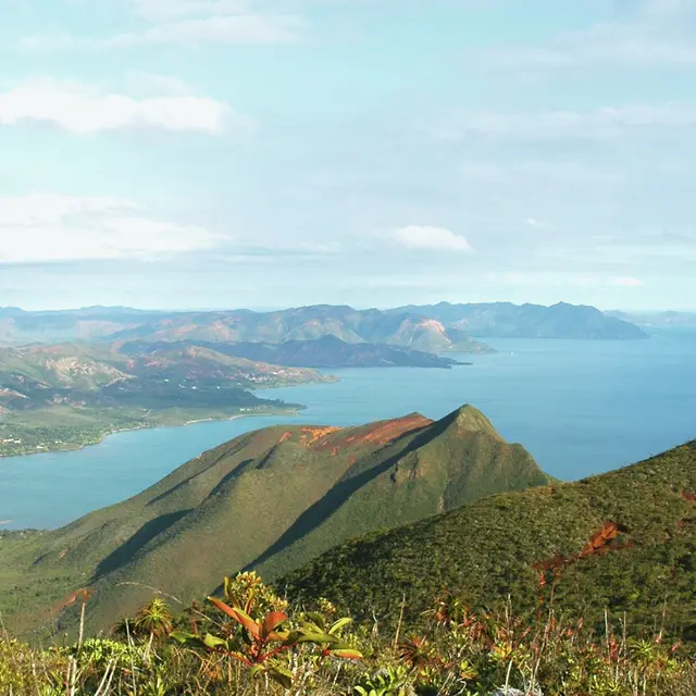
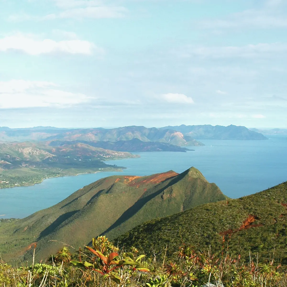
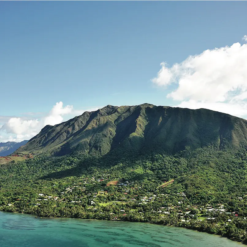
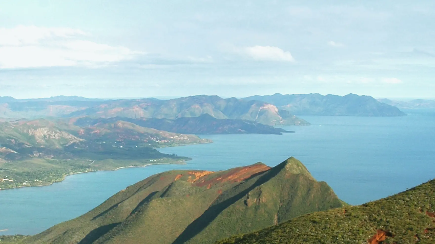
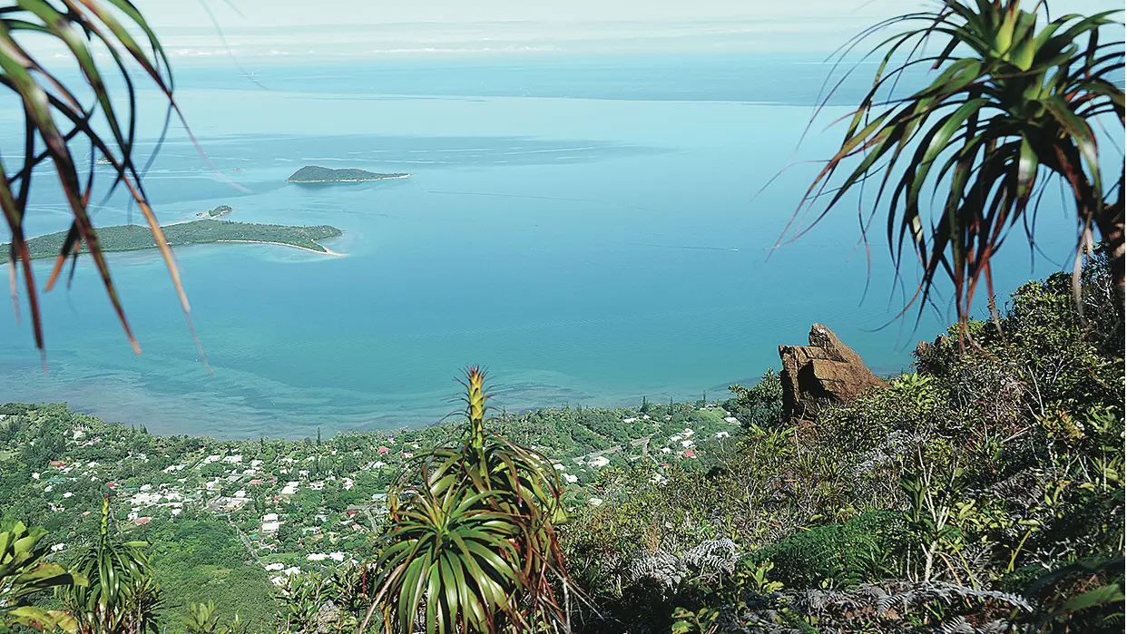
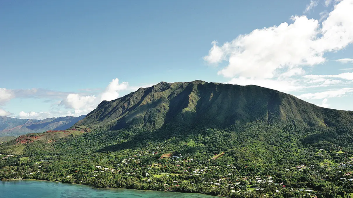
Le Mont-Dore rises to the south-east of Nouméa. The clear summit allows a view on the whole of the Grand Sud and Nouméa.
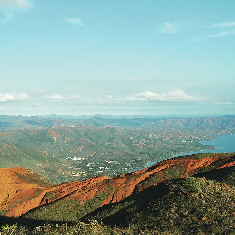
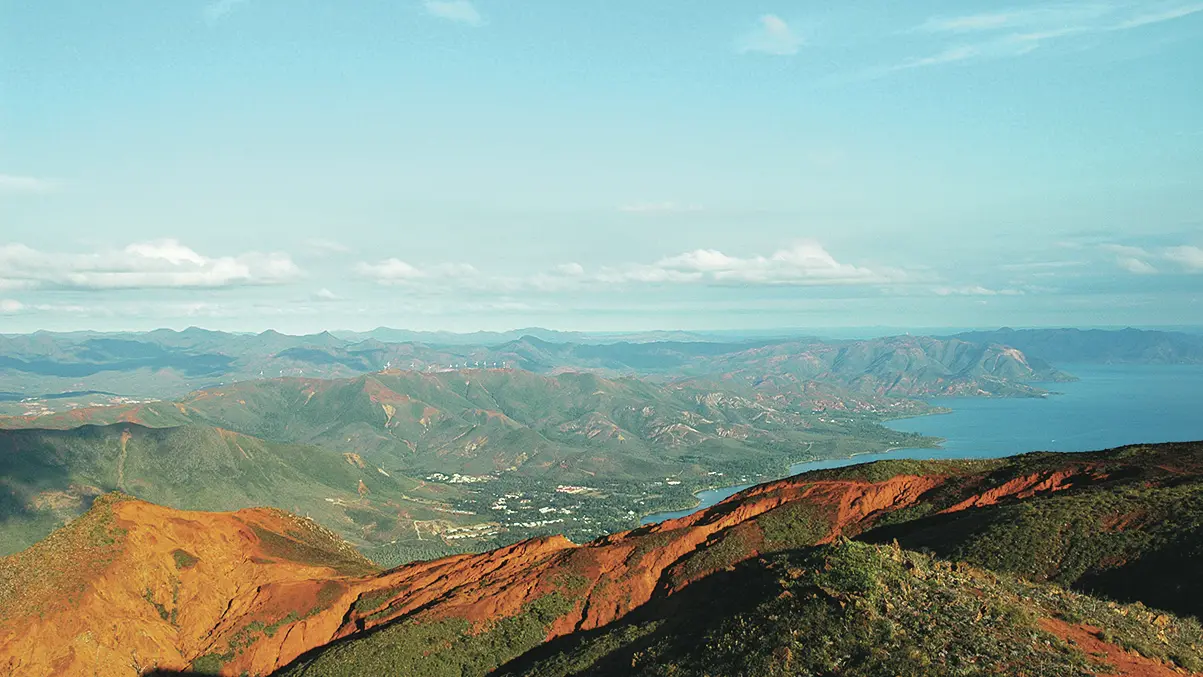
D Departure: leave the road, pass the gate and climb up the old mining track to the east. It veers to the right and climbs into the "stone". Pass a second hairpin on the left to reach a platform. 1 Saddle (GPS: 665 663 – 7 537 861; alt. 268m): continue to follow, towards the south-west, the main track (the route shows the wounds inflicted by an unscrupulous mining industry). It climbs by making many zigzags in the mineral chaos of the old mine (avoid some secondary tracks). Follow the markings to stay on the course. At an altitude of 566m, it reaches a characteristic shoulder which allows a view of the surroundings. It makes a turn to the right to circumvent a characteristic movement of ground that was spared by the bulldozers (the horizontal track runs towards the antennas). 2 Intersection (GPS: 664 561 – 7 537 045; alt. 596m): leave the track to take a path that cuts the red earth in the side of the hill (be careful, slippery ground and difficult orientation in foggy weather). Carefully follow the route. First parallel to the track, it then climbs a buttress in zigzags to circumvent a small hillock (alt. 700m). Go down (southwards) towards a small saddle of calcined red earth. Climb a few steps cut into the slippery ground. 3 Intersection (GPS: 663 982 – 7 536 941; alt. 733 m): turn right towards the summit (the path that goes in front descends towards the Vallon Doré). You’ll come to an intersection. 4 Intersection (GPS: 663 885 – 7 536 930; alt. 743m): continue on the plateau westward towards the summit visible in clear weather. 5 Summit (GPS: 664 509 – 7 537 070; alt. 772 m): the return is by the same route or by the Mont-Dore track (via the south-east ridge) in the direction of Vallon Dore. © Text by Jean Francis Clair FFrandonnée® grading * Effort: IBP 65 Not very high (orange) * Technical difficulty: Not very difficult (orange) * Risk: Not very high (orange) * Overall grading: Not very difficult (orange)

Further information on localisation

Further information on localisation
Situation : direction Mont-Dore by the RP 1. Pass the traffic circle of La Coulée. Then take the direction of Plum by the pass. Pass the fountain and the bottling plant. Parking : a little further on the right (GPS : 666 144 - 7 538 099 ; alt. 89 m)
Additional rate information
Free of charge.

Services

Car park
Pets welcome
Dogs are allowed (outside protected areas subject to South Province regulations)

Plain text period

All year round daily.

Environment

  • Forest location
  • Mountain view
Updated on 08 July 2026 at 10:02
by Sud Tourisme Nouvelle-Calédonie
(Offer identifier : 5511835)
Report mistake
Filter search
Filter search
  • Tourist Offers
  • Business Offers
Page types
  • All
  • Articles
  • Agenda
  • Lists