New Caledonia Tourism
NCT HQ Team in Nouméa
New Caledonia Tourism HQ
Upi Bay, Isle of Pines
Le Méridien Île des Pins
Flight over the Heart of Voh
Workshop Rendez-Vous in New Caledonia 2023
The Today Show in New Caledonia
Mice Elissalde Arnaud2
Cruise ship at the Quai Ferry in Nouméa
Investing in New Caledonia
Marathon International Mobil in New Caledonia
Workshop Rendez Vous In New Caledonia 2023 Auriane Demeusy4
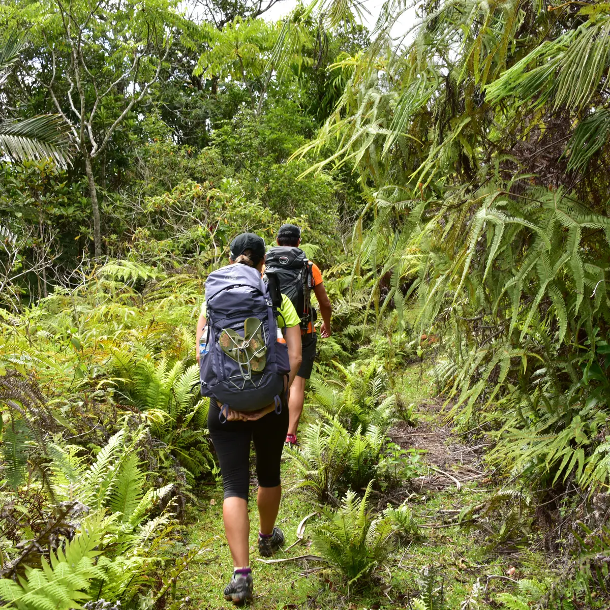
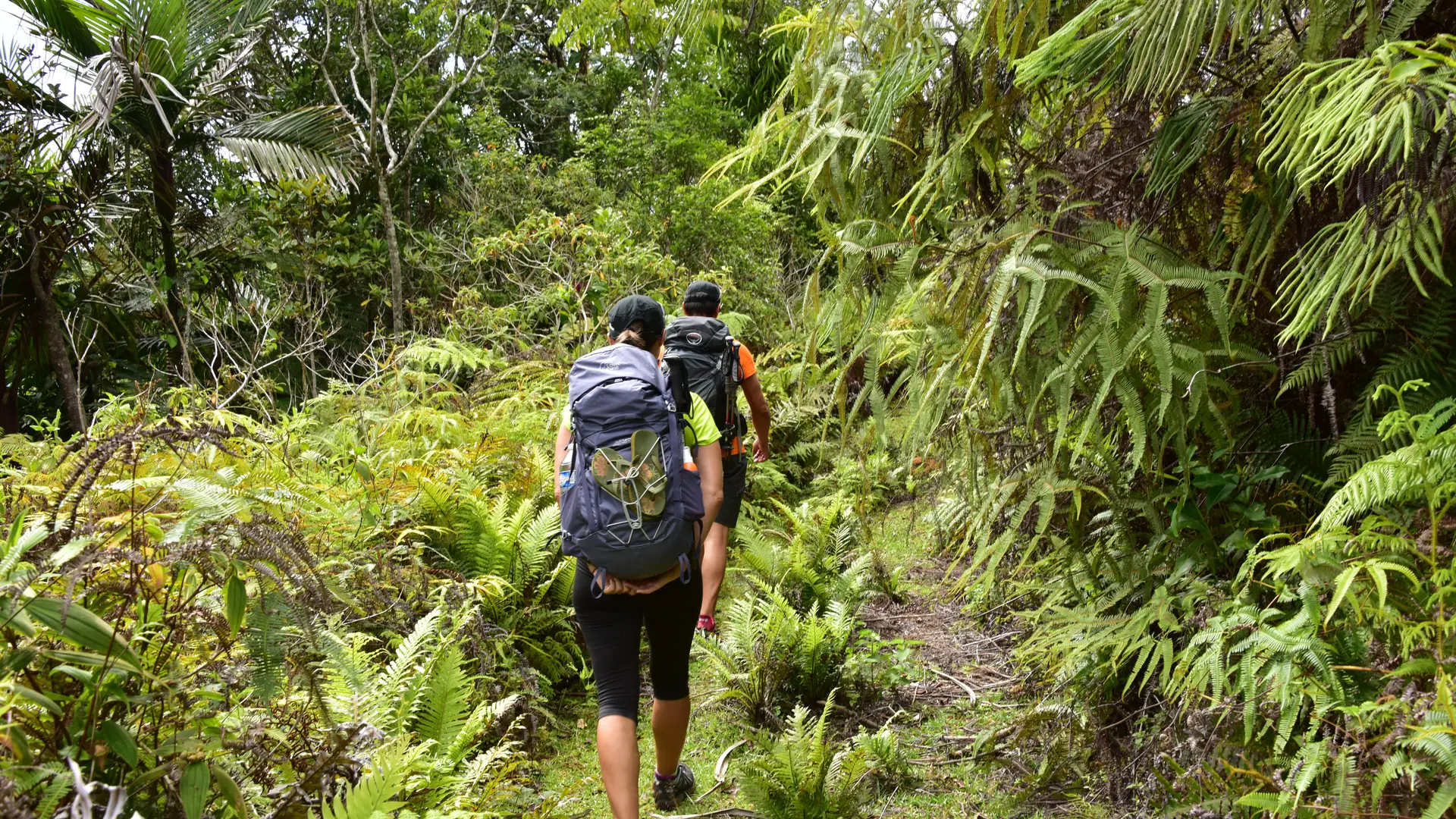
Turtle watching in New Caledonia
Ajouter aux favoris
© J.F Clair
© J.F. Clair