Aller au contenu principal
en
New Caledonia Tourism B2B Website
TOURISM OBSERVATORY
en
GB
New Caledonia Tourism: The official website for tourism in New Caledonia
New Caledonia Tourism
New Caledonia Tourism
©
New Caledonia Tourism
Our Organisation & Missions
NCT HQ Team in Nouméa
©
NCT HQ Team in Nouméa
Teams and Members
New Caledonia Tourism HQ
©
New Caledonia Tourism HQ
Collaborate with Us
Contact Us
Our Campaigns
See All
The destination & its offerings
Upi Bay, Isle of Pines
©
Upi Bay, Isle of Pines
10 Reasons to Go
Le Méridien Île des Pins
©
Le Méridien Île des Pins
Tourism Directory
Flight over the Heart of Voh
©
Flight over the Heart of Voh
Image & Positioning
Priority Markets
Thematic Fact Sheets
See All
Ressources & tools
Workshop Rendez-Vous in New Caledonia 2023
©
Workshop Rendez-Vous in New Caledonia 2023
Trade
The Today Show in New Caledonia
©
The Today Show in New Caledonia
Media
Mice Elissalde Arnaud2
©
Mice Elissalde Arnaud2
MICE
Cruise ship at the Quai Ferry in Nouméa
©
Cruise ship at the Quai Ferry in Nouméa
Cruise
Le Méridien Île des Pins
©
Le Méridien Île des Pins
Tourism Directory
Investing in New Caledonia
©
Investing in New Caledonia
Investors
Photo Library
Brochures
See All
News
Marathon International Mobil in New Caledonia
©
Marathon International Mobil in New Caledonia
All Our News
Workshop Rendez Vous In New Caledonia 2023 Auriane Demeusy4
©
Workshop Rendez Vous In New Caledonia 2023 Auriane Demeusy4
Activity Reports
Turtle watching in New Caledonia
©
Turtle watching in New Caledonia
Newsletters
Press Releases
Promotional Activities
Media Coverage
Homepage
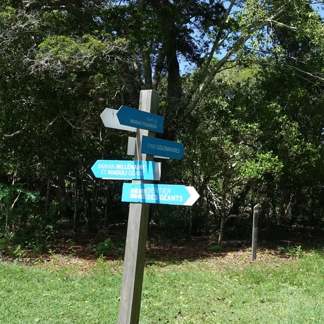
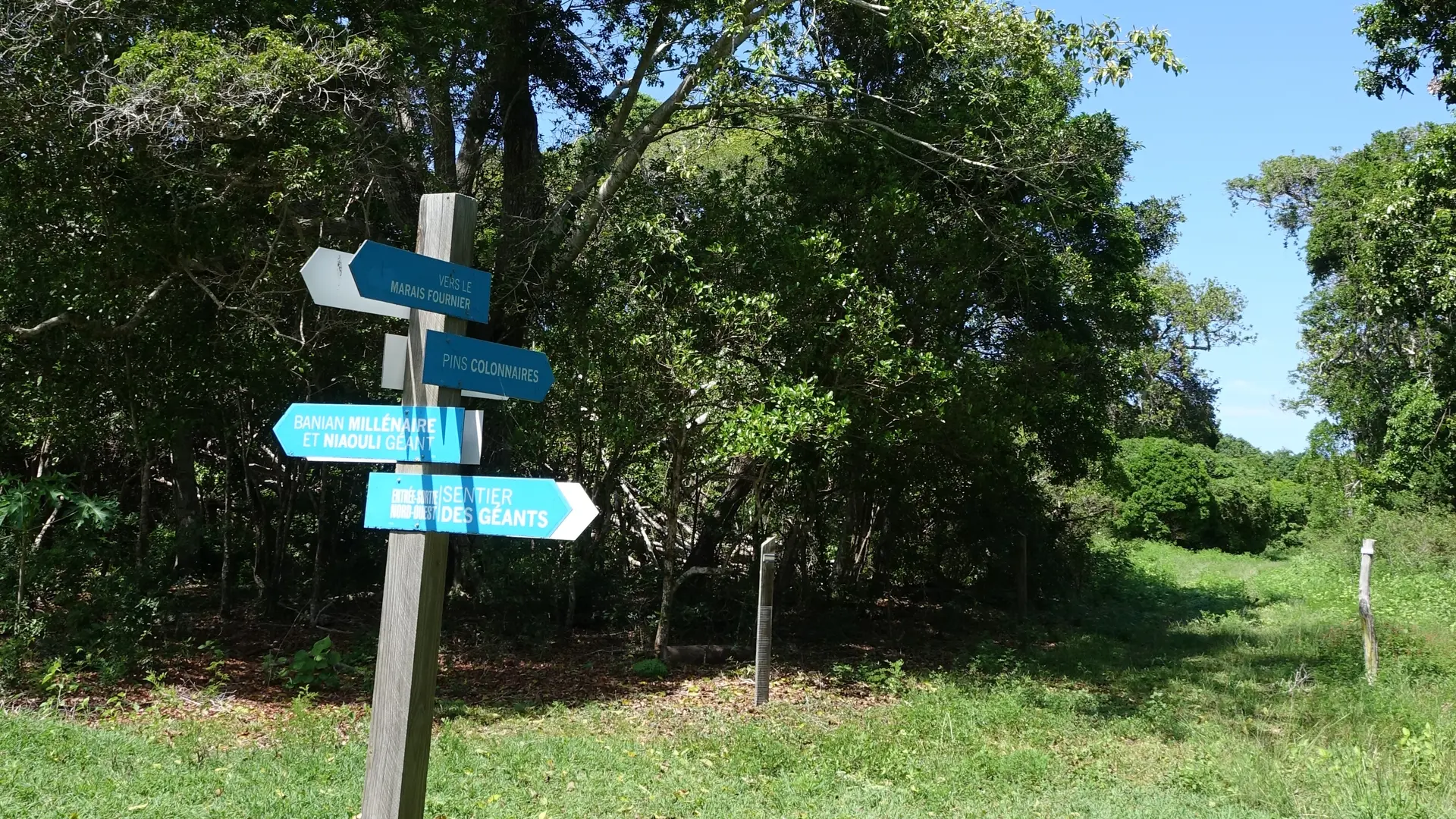
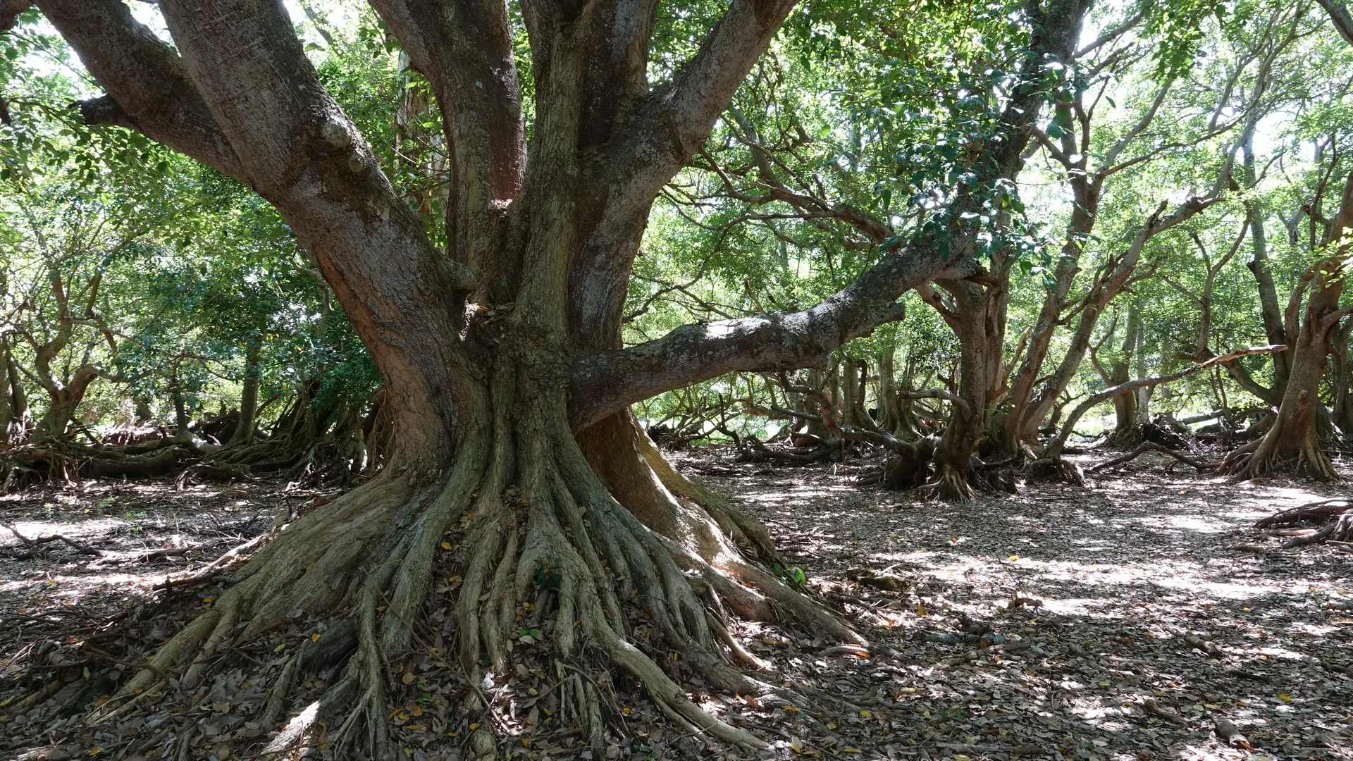
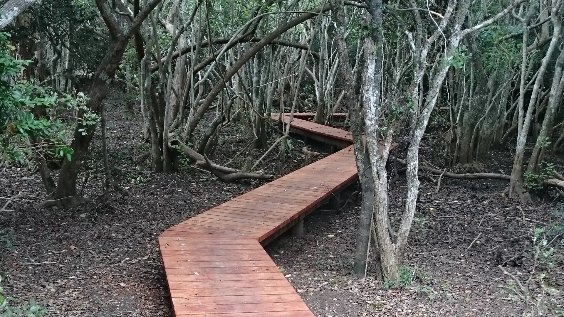
Pedestrian Path of the Giants
Pedestrian Path of the Giants
Sport
Pedestrian sports
Hiking itinerary
Elevation : 17m
Deva, 98870 Bourail
Getting there
×
Open the itinerary in
Google Maps
Apple Plans
Waze
Mappy
Share
Ajouter aux favoris
Add to my favorites
×
Share this sheet
Pedestrian Path of the Giants
E-mail
WhatsApp
Facebook
X
LinkedIn
Pinterest
©
Domaine de Deva
©
Domaine de Deva
©
Domaine de Deva
©
Domaine de Deva
©
Domaine de Deva
×
©
Domaine de Deva
©
Domaine de Deva
©
Domaine de Deva
©
Domaine de Deva
©
Domaine de Deva
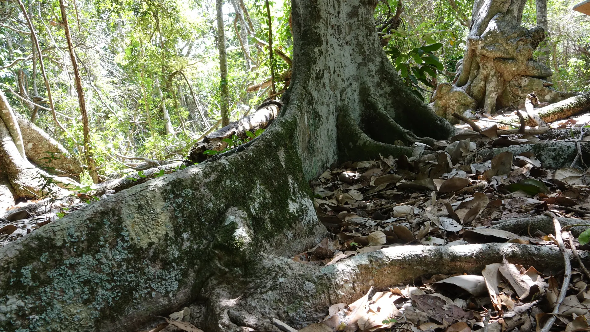
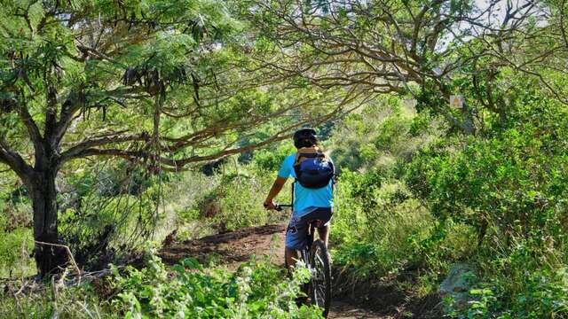
Lurking between the sea and some hills, under the foliage of one of the last dry forests of New-Caledonia, the Fournier marsh of Poé conceals uncommon natural spectacles. A completely flat walking trail
COURSE DESCRIPTION D Starting point (GPS : 535 454 - 7 613 455 ; alt. 9 m / 29 ft) : leave the car park and go down to the gate. Walk through it and follow the track southward. 1 Fork (GPS : 535 448 - 7 613 363) (signpost) : turn left. The path peacefully wanders towards the east amongst scarse niaoulis, until it reaches the observatory. 2 Crossroads (GPS : 535 849 - 7 613 133) (signpost) : take a right southwards to get to the observatory access decking. 3 Ornithological observatory (GPS : 535 782 - 7 613 024) (built in 2016) : get back to point . Turn right (east). Pass the signpost « Les Forêts sèches du domaine » (« Deva’s dry forests ») and keep on walking eastwards. The path strolls amongst niaoulis and dry forest shreds, before getting out on open terrain. 4 « La lisière de la forêt » signpost (« Edge of the forest »)(GPS : 536 442 - 7 612 768) : the track inclines towards south-southeast in the direction of the No Bouaou creek, invisible and discreetly meandering into the vegetation. 5 Crossroads (GPS : 536 485 - 7 612 471) (signpost - location signboard) : take a right westwards ( the track that goes eastwards to the left is a link to the « Forest of the Origins » trail). Then, the track continues its course in the direction of the west. 6 « Le bosquet des Bancouliers » signpost (« Bancouliers’ grove ») (GPS : 536 247 - 7 612 548) : keep on strolling westwards in the sweltering undergrowth. 7 Intersection (GPS : 536 102 - 7 612 470) (location signboard the left track (south) joins the « Forest of the Origins » trail thanks to a footbridge over the No Bouaou) : To stay on the « Giants trail », continue straight ahead. 8 Fork (GPS : 536 017 - 7 612 494) : take a right to the north. Pass 9 « Le Niaouli Géant » signpost (« The Giant Niaouli ») (GPS : 536 027 - 7 612 565) : get back to point and take a right. Go beyond the « Les stratégies » signpost and then pass « Les plantes » signpost. 10 Crossroads (GPS : 535 652 - 7 612 694) : keep walking straight ahead towards northwest (an unmarked track goes left, to the south ; it leads to a Cook pine grove, delimiting a former mound). 11 Creek (GPS : 535 196 - 7 613 071) : it is often dry. Walk westwards, and then northwards. Get out of the woods. 12 Crossing with a MTB trail (GPS : 535 076 - 7 613 329) : the pathway slightly curves to the north-northeast and then gets back to point where it goes up to the car park. © Text Explorenc (Jean Francis et Delphine Clair) FFrandonnée® rating : Effort IBP 16 Easy • Technicity 2 Quite easy • Risk 1 Low.
Read more
Plain text period
All year round between 6.30 am and 7 pm.
Subject to favorable weather.
Services
Public WC
Car park
Sustainable development
Outhouse
Free car park
Pets welcome
Animals permitted but only on a lead.
Documentation
Hiking guide
Fiche descriptive
Environment
Forest location
Beach within 300 m
Coastal
On the premises
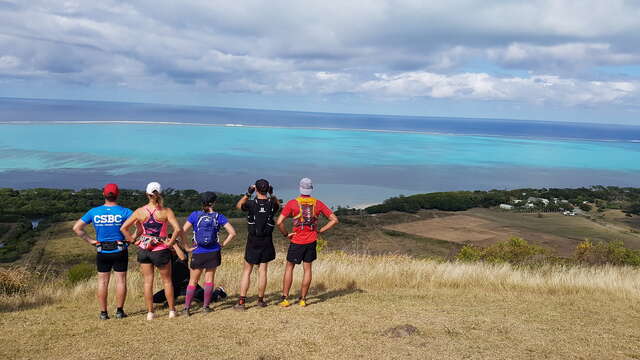
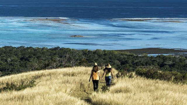
Deva Domain
This site is exceptional both in terms of its biodiversity and the beauty of its landscapes. A wide range of activities are on offer for nature lovers, providing them with a...
Bourail
Pedestrian path of Oua Koué
The airy and bright route overhangs the seaside, whose reef and lagoon have been inscribed in Unesco’s World Heritage List. The areas it crosses are steeped in distant history....
Bourail
Sentier pédestre de la Forêt des Origines au Lagon
The path runs through spaces whose history dates back almost three millennia; the lands of the customary chiefdoms and clans of the Ara and Arô territories. The people of Ara,...
Bourail
Pedestrian path of Boé Arérédi
The route follows the edge of the ridges overlooking the Shark Islet "fault" and Fournier Marsh. The landscape glows with a multitude of colors ranging from silvery yellow to...
Bourail
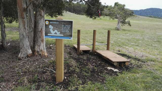
Deva's health course
The health trail of the Deva estate is an itinerary suitable for the whole family and allows its users to exercise in the heart of the Caledonian dry forest.
Bourail
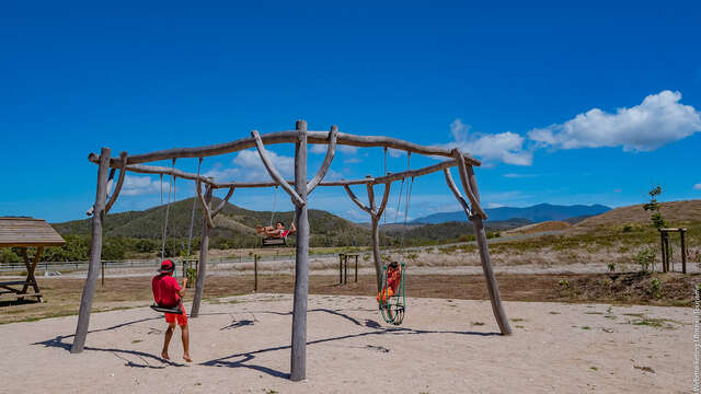
Children's playground in Deva
The Domaine de Deva playground is a new addition to the wide range of fun and family activities already present on the estate.
Bourail
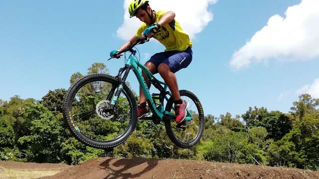
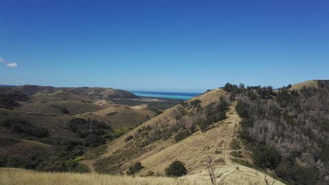
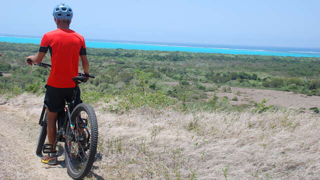
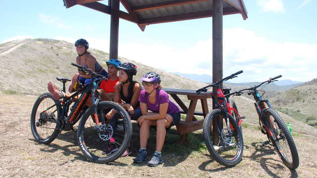
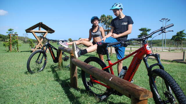
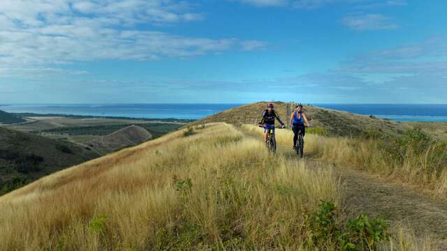
Deva Bike Park
With its bike park, the Deva estate invites beginners and experienced mountain bikers to come and have fun and progress on its two pump tracks. A total of 500 meters of track...
Bourail
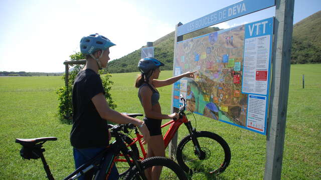
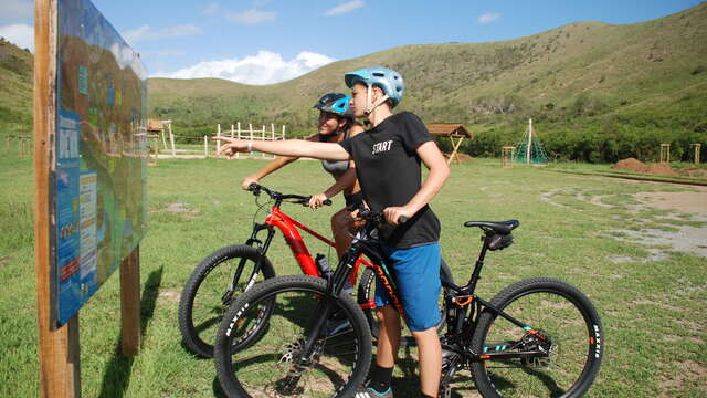
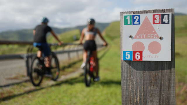
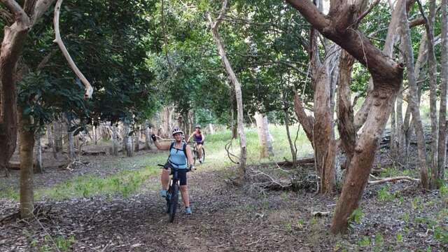
Mountain Bike Trail n.1 green "No Poradéno"
Nice easy loop to do by mountain bike on the Domaine de Deva, with a distance of 8,6km, duration of 1h15, +123m of difference in altitude.
Bourail
Mountain Bike Trail n.2 blue "No Bouaou"
Nice loop to do by mountain bike on the Domaine de Deva, 12.3km for a duration of 1h30 and a difference in altitude of 200m.
Bourail
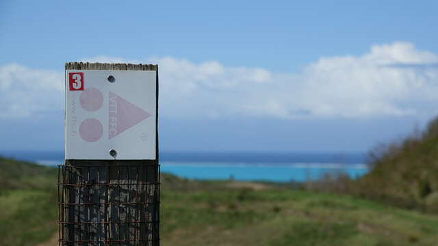
Moutain Bike Trail n.3 red "Bouencoy"
Very difficult mountain bike loop to be done on the Domain of Deva, of 16Km for a duration of 2h20 and a difference in altitude of 490m.
Bourail
Mountain Bike Trail n.4 black « Zouvézélé »
Mountain bike loop for experts to be done on the Domaine de Deva, of 20,7Km for a duration of 3H and a difference in altitude of 764m.
Bourail
Mountain Bike Trail n.5 "Flat Forest"
Moderate loop to be done by mountain bike on the Domaine de Deva, duration 1h30, of 10km with 155m of difference in altitude.
Bourail
Mountain Bike Trail n.6 red "Me Awi"
Mountain bike loop quite difficult to make on the Domain of Deva, of 15Km for a duration of 2H and a difference in altitude of 324m.
Bourail
Mountain Bike Trail n.7 green "Marais de Déva"
Entirely flat and very easy level mountain bike circuit suitable for the whole family.
Bourail
Mountain Bike Trail n.8 blue "Temrock"
An easy mountain bike route that highlights the varied landscapes of the Domaine de Deva, making it accessible to mountain bikers of all levels.
Bourail
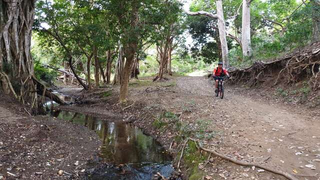
Mountain Bike Trail n.9 blue "Rivière de Déva"
Medium level mountain bike trail that follows the Deva River through a beautiful valley away from the rest of the estate.
Bourail
Mountain Bike Trail n.10 red "No Pouméi"
A 28km mountain bike trail in the middle of nature, more suitable for experienced cyclists, especially because of the positive difference in altitude of this route.
Bourail
Mountain Bike Trail n.11 blue "Nindoua"
Blue mountain bike trail "Nindoua", numbered "11" on the general map.
Bourail
Mountain Bike Trail n.12 red "Taveou"
This difficult trail will give you a taste of the joys and technique of a gentle ascent through smoothly traced switchbacks.
Bourail
Close
Popular searches
{% label %}
Filter search
Filter search
Tourist Offers
Business Offers
Page types
All
Articles
Agenda
Lists
Aucun résultat
/
Anglais
Français
日本語
General public website
Close
×